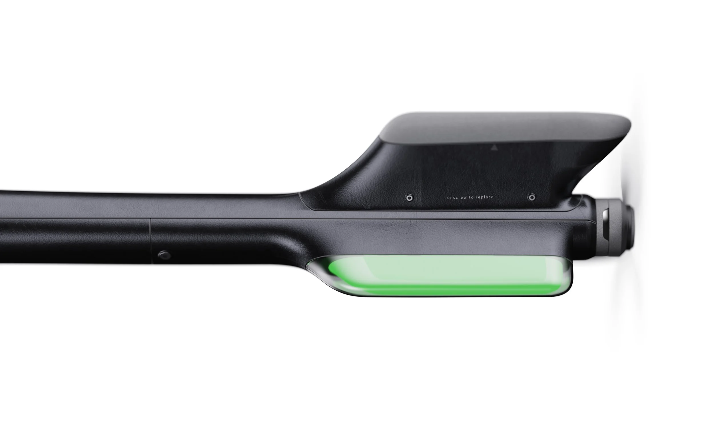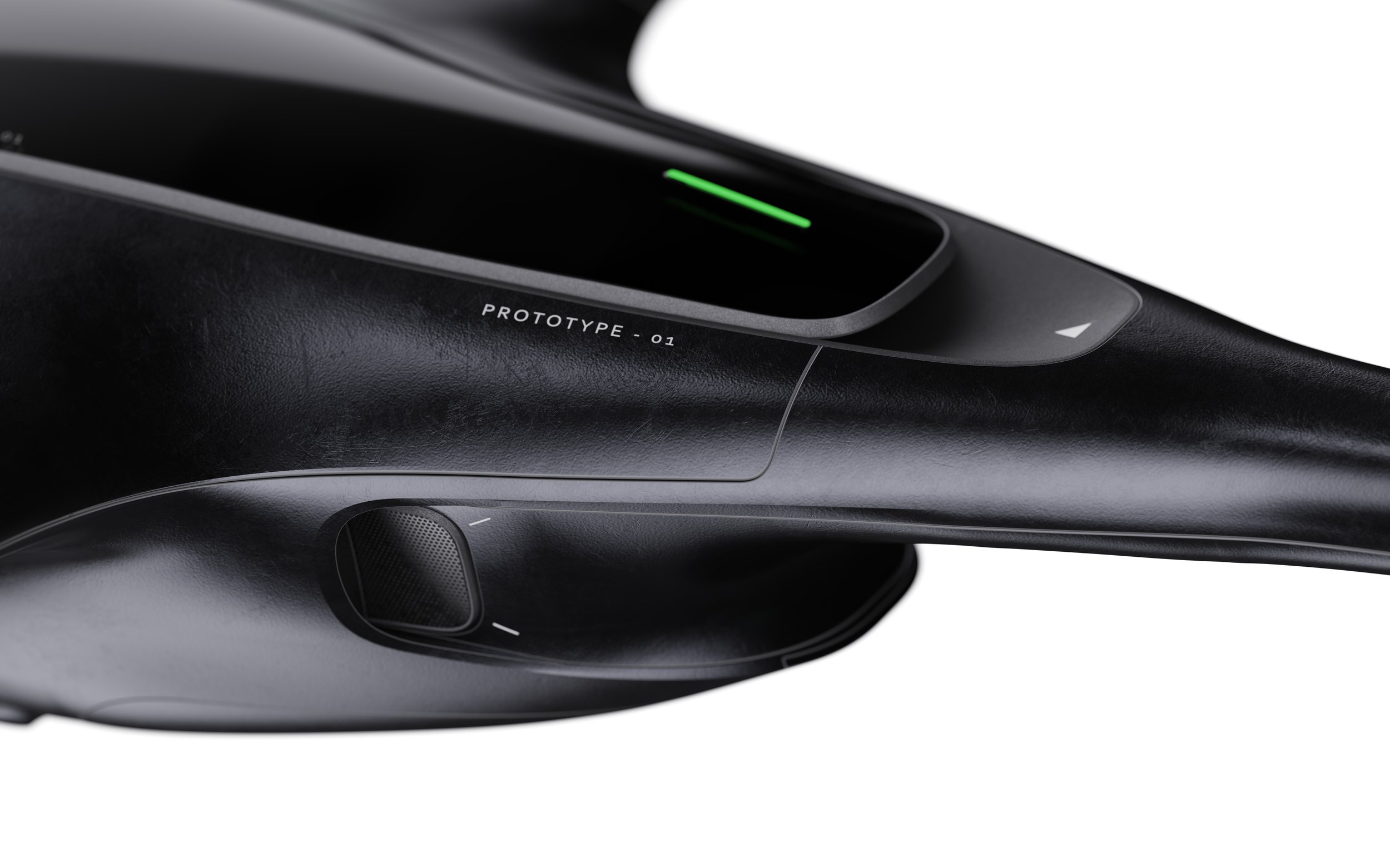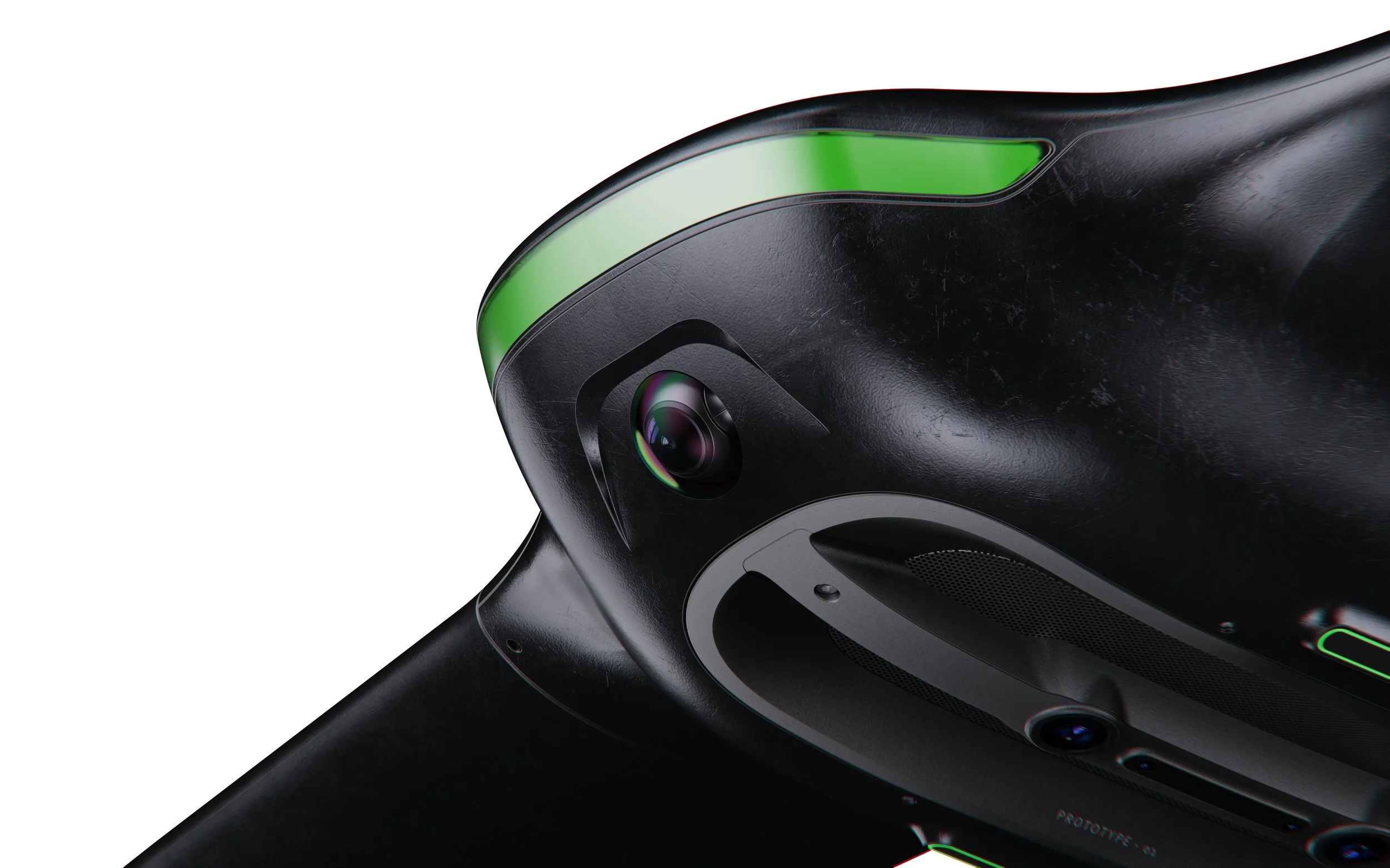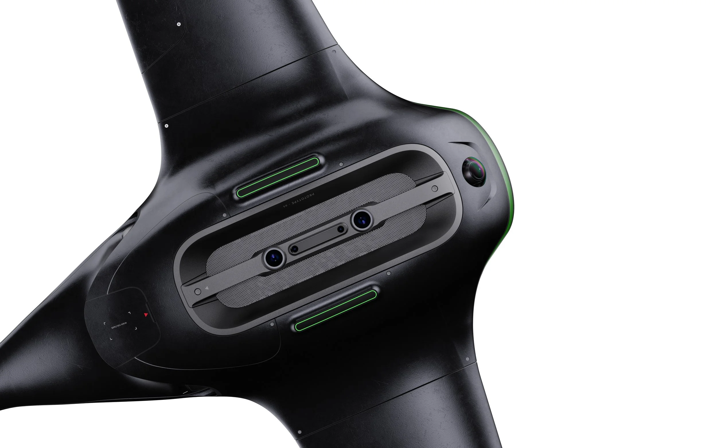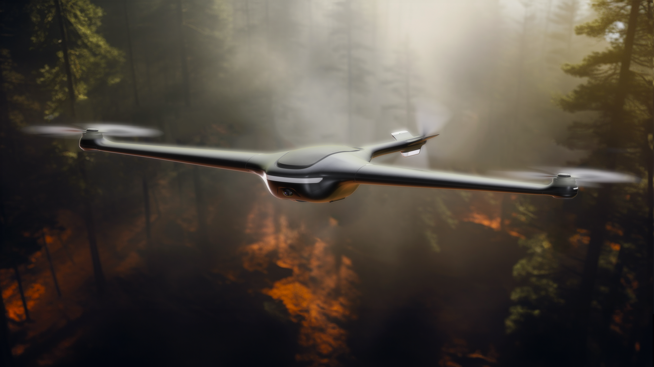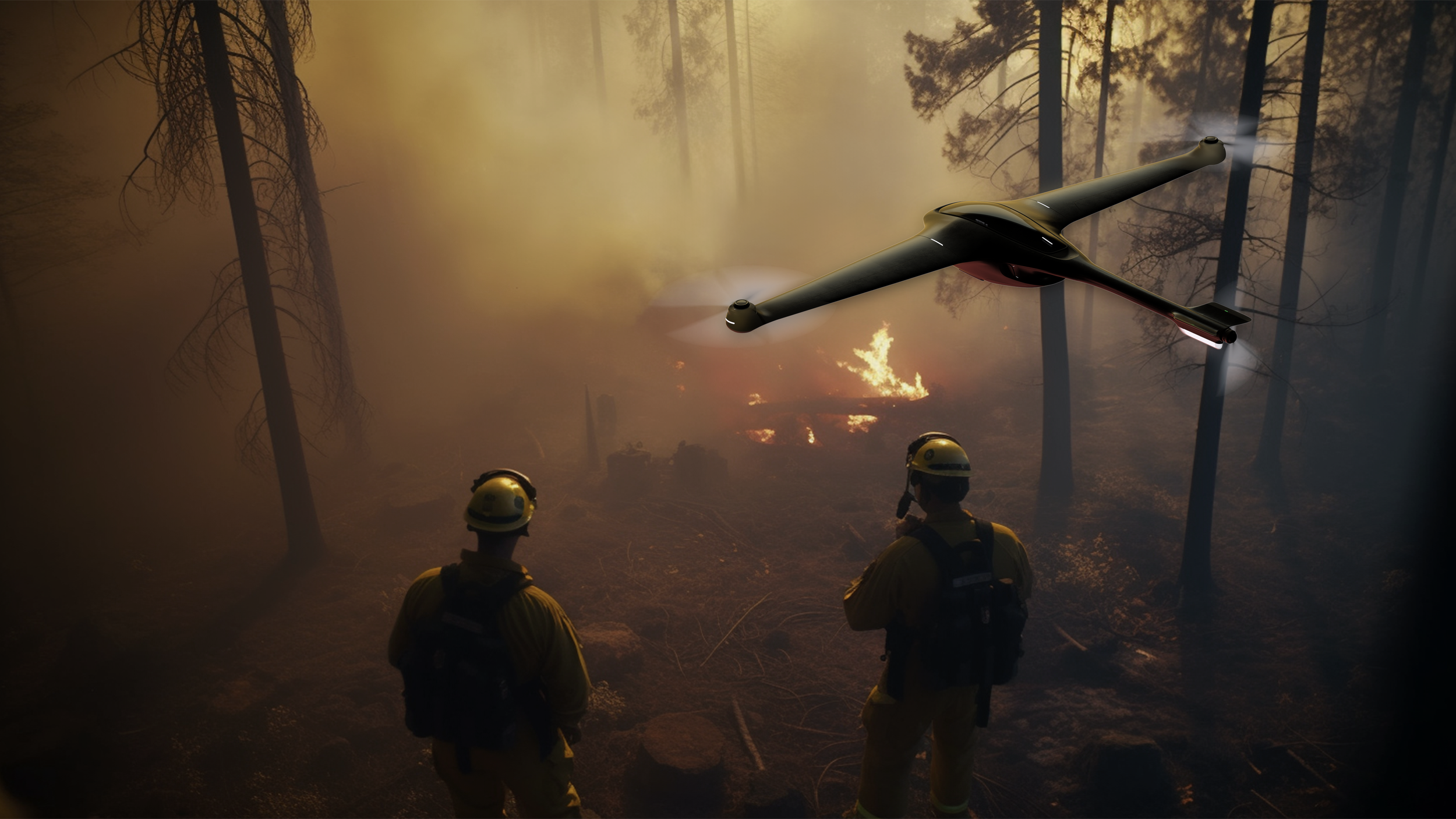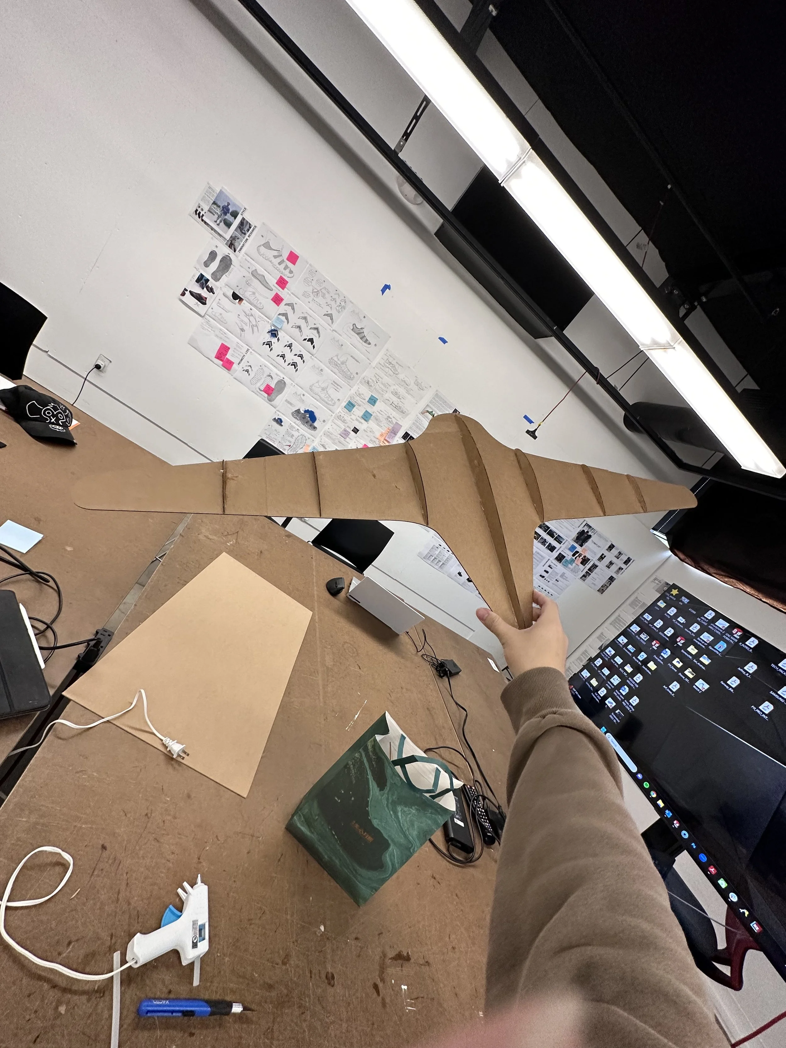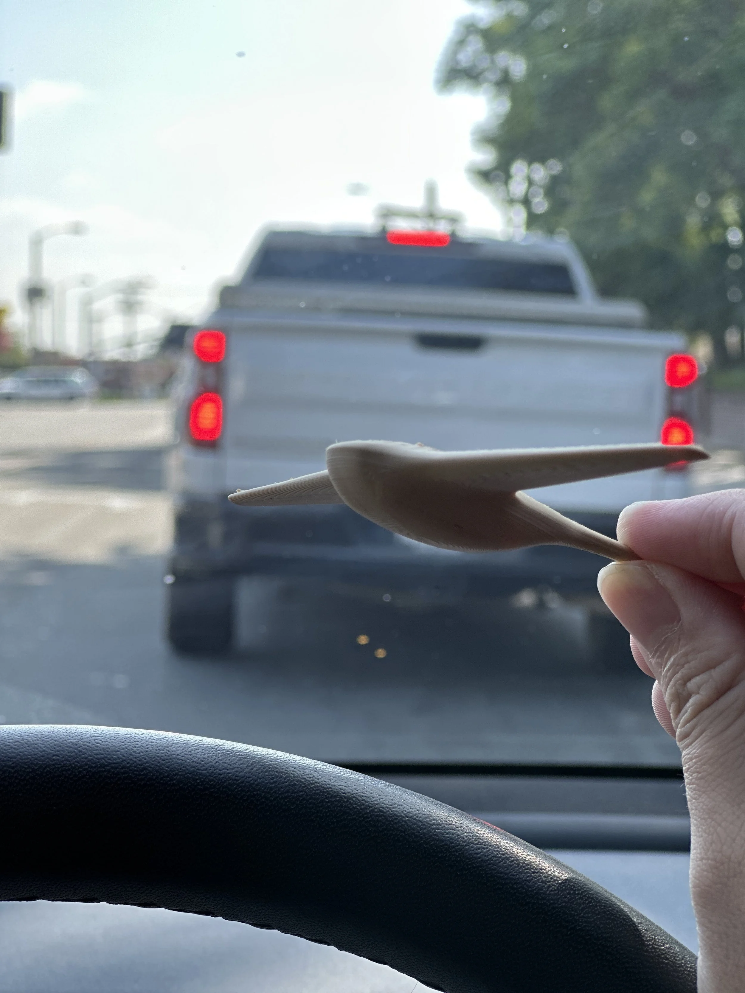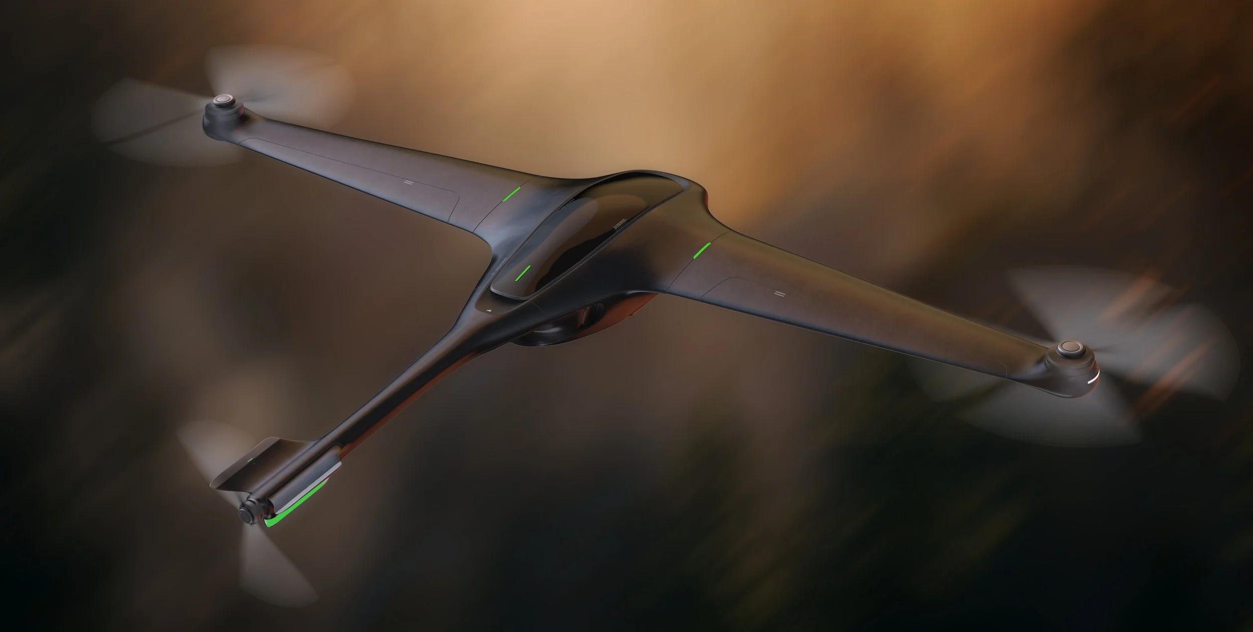
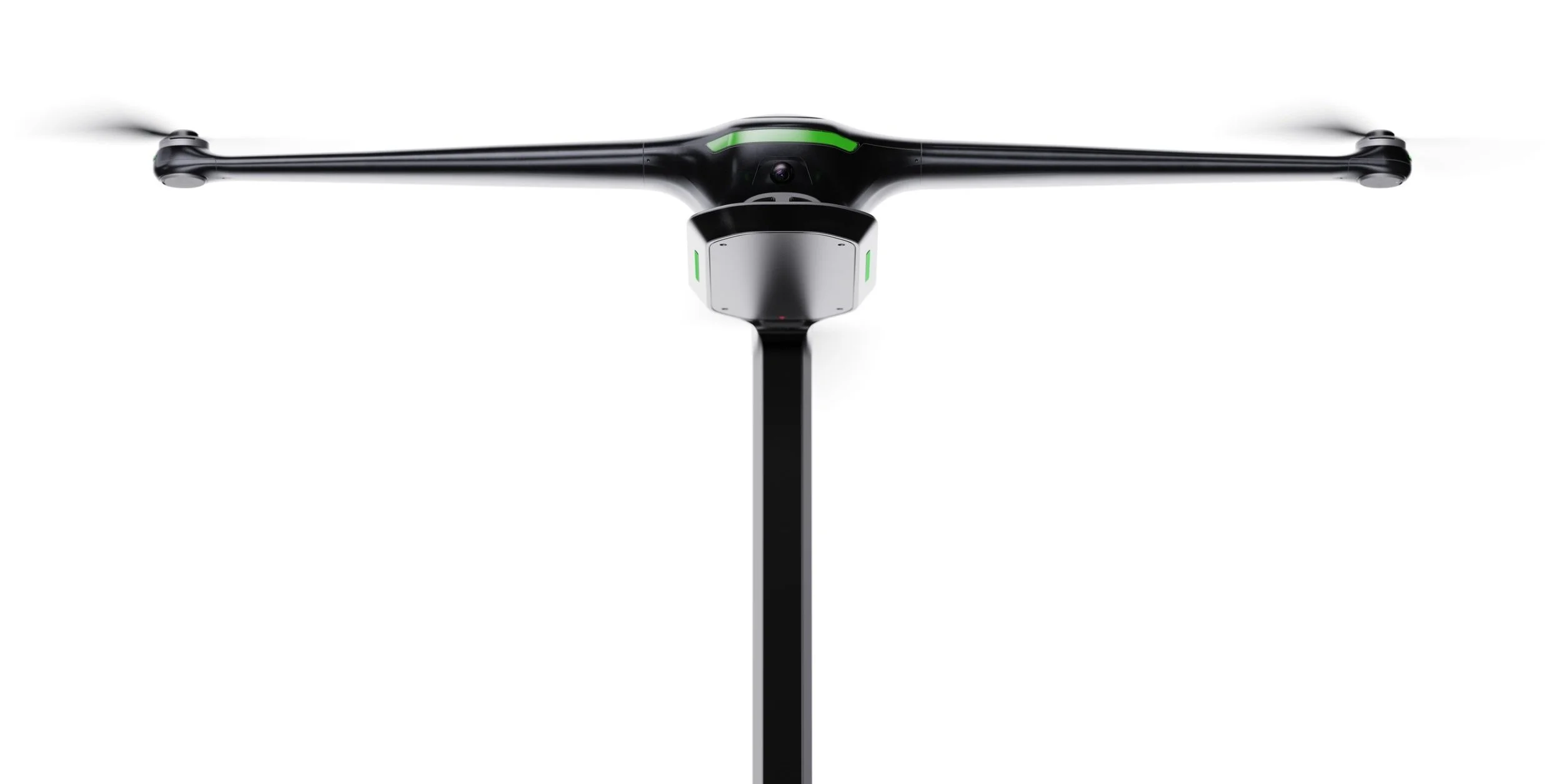
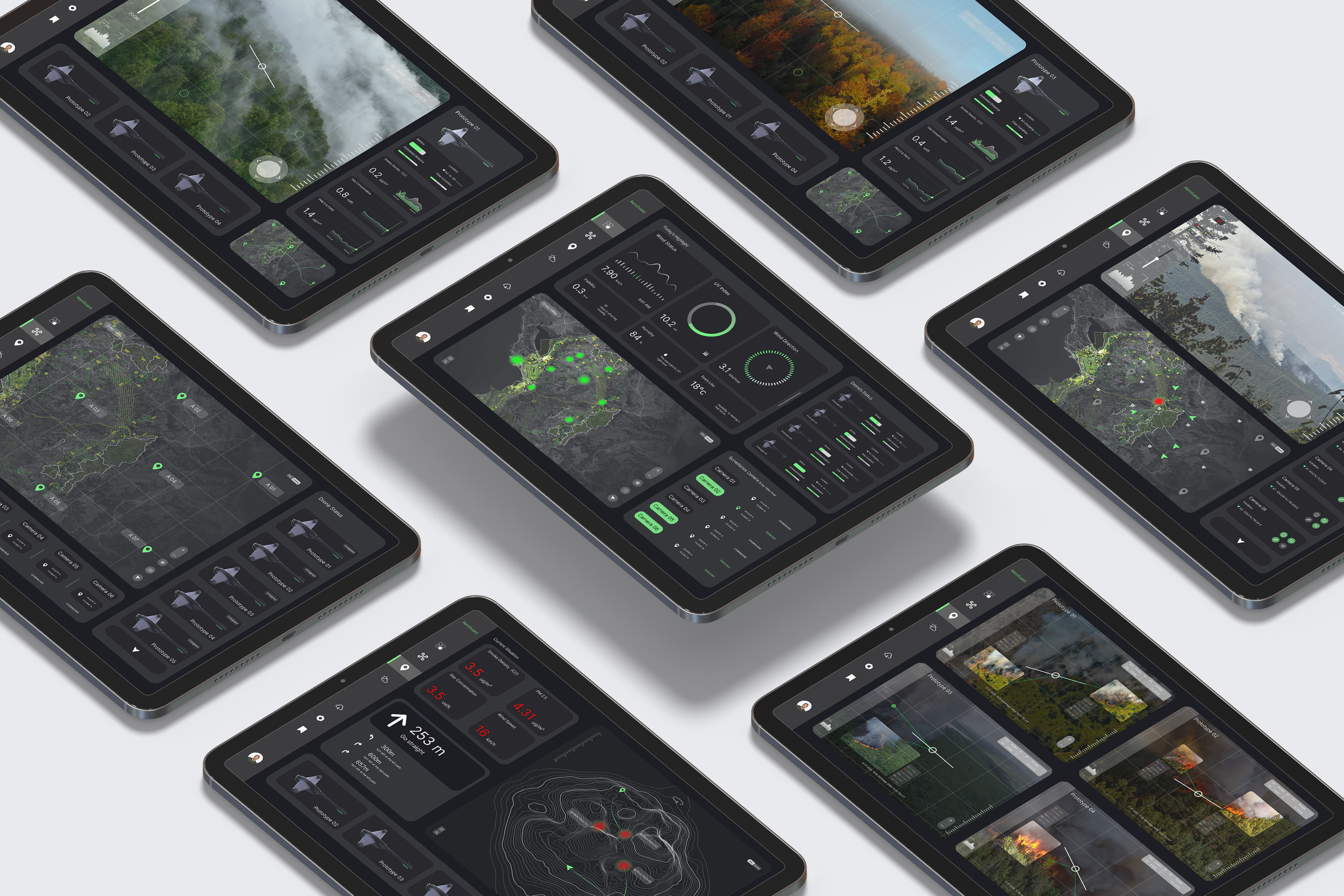
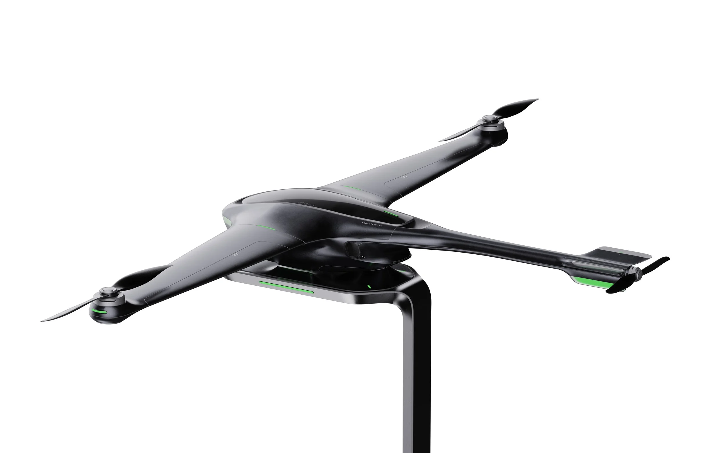
A UVA system that collaborates with climate satellites and ground cameras for real-time wildfire detection and prevention. It aims to establish a 3D system for future forest protection, fostering improved collaboration among detection personnel and various departments.
product
/ industrial design / concept design
year
/ 2023
duration
12 weeks (230 hrs)
Software
/ Solidworks, Keyshot, Photoshop
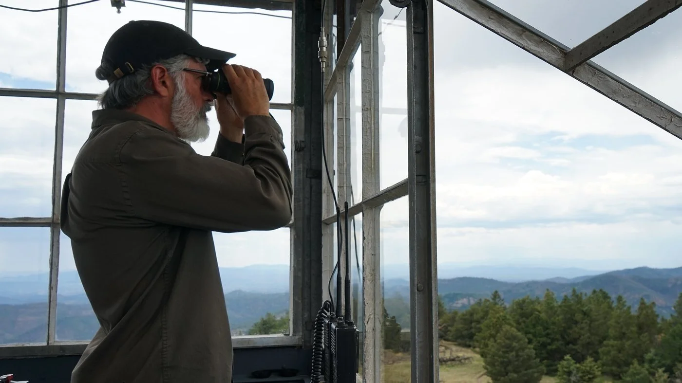
Wildfire watchmen- Hewitt
in Grass Valley, North Cali
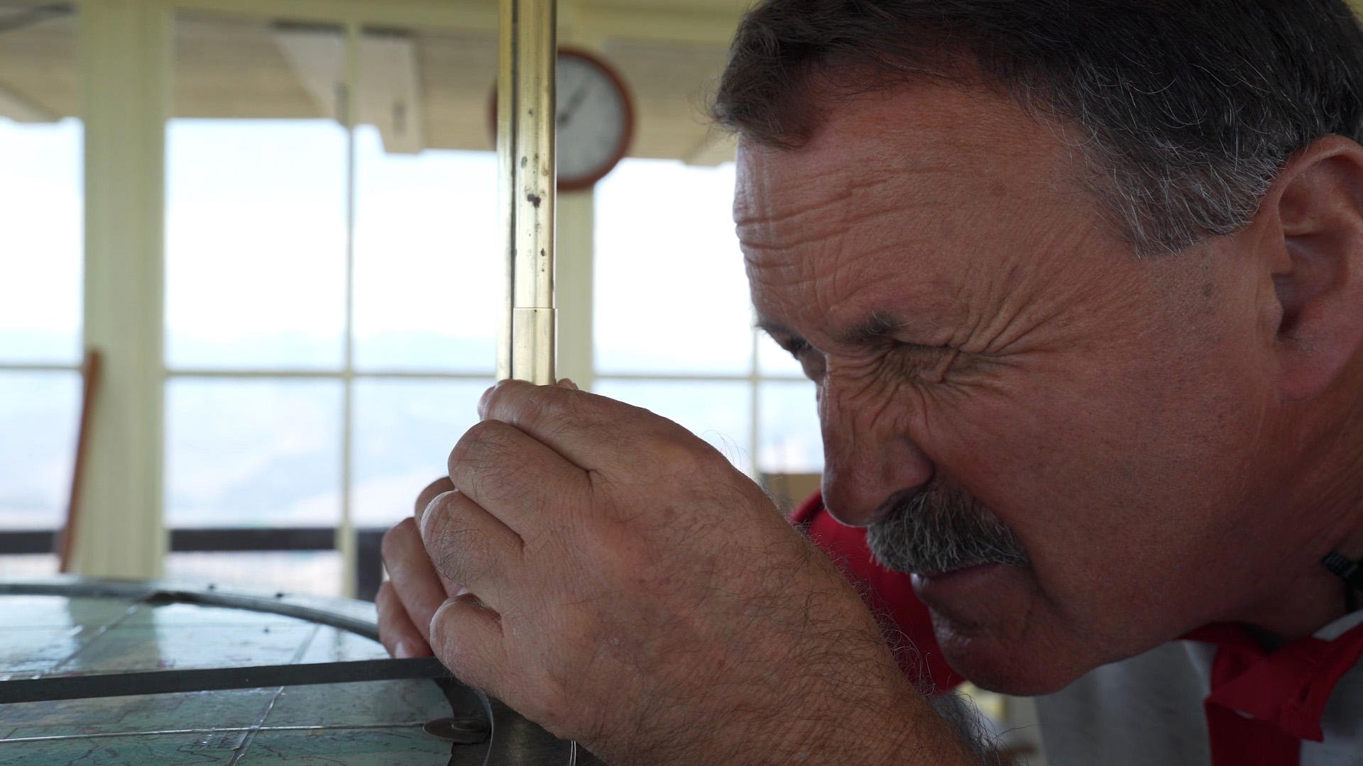
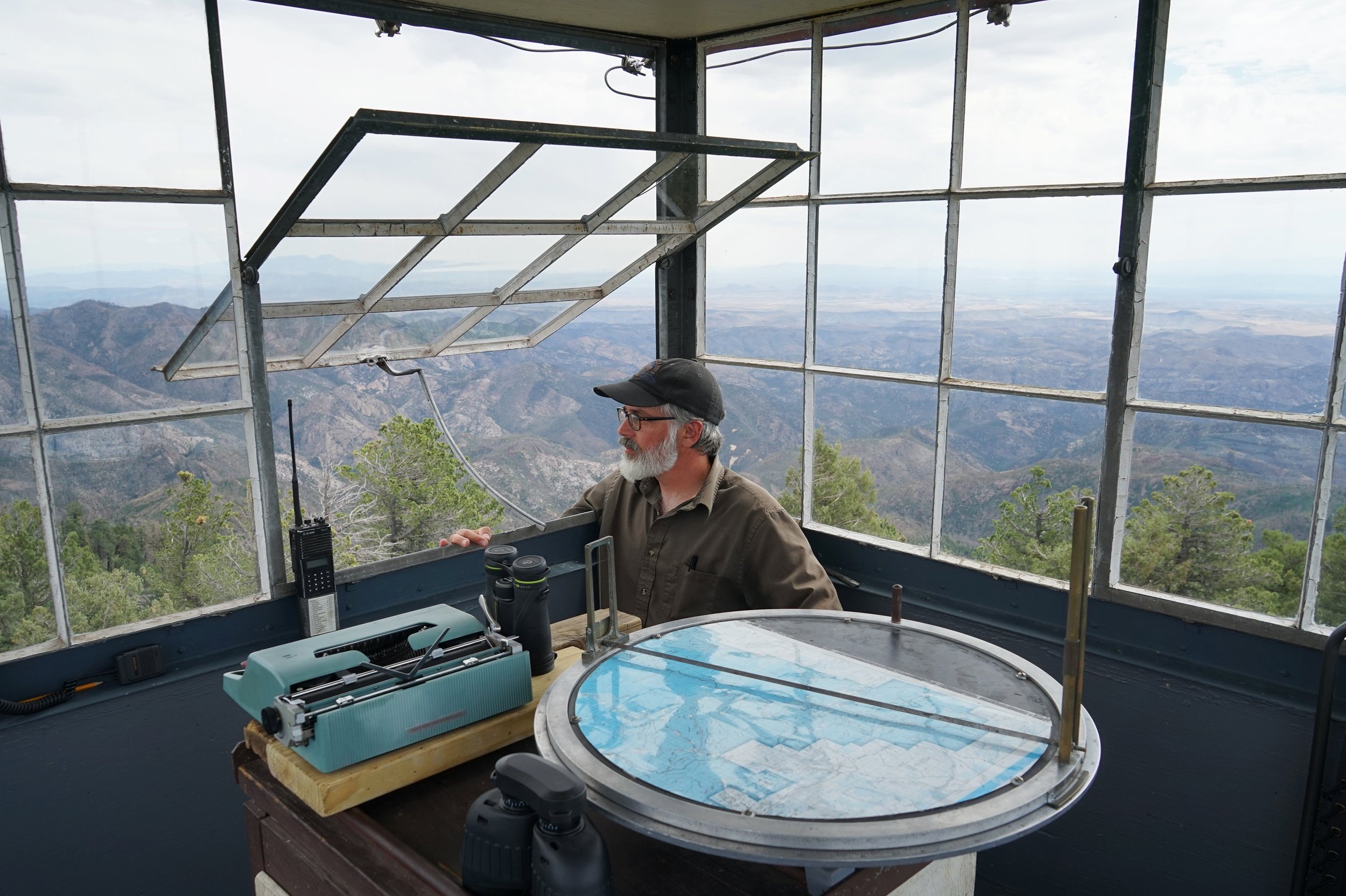
Due to the high error rate of forest cameras, the lookout tower inspectors have resumed their positions since 2021. They conduct a secondary confirmation after receiving alerts from the cameras.
Problems
However, the traditional methods they employ do not allow for continuous monitoring of an area. The limitations in response time and efficiency of the first-step wildfire detection personnel hinder effective communication and information sharing with firefighters.
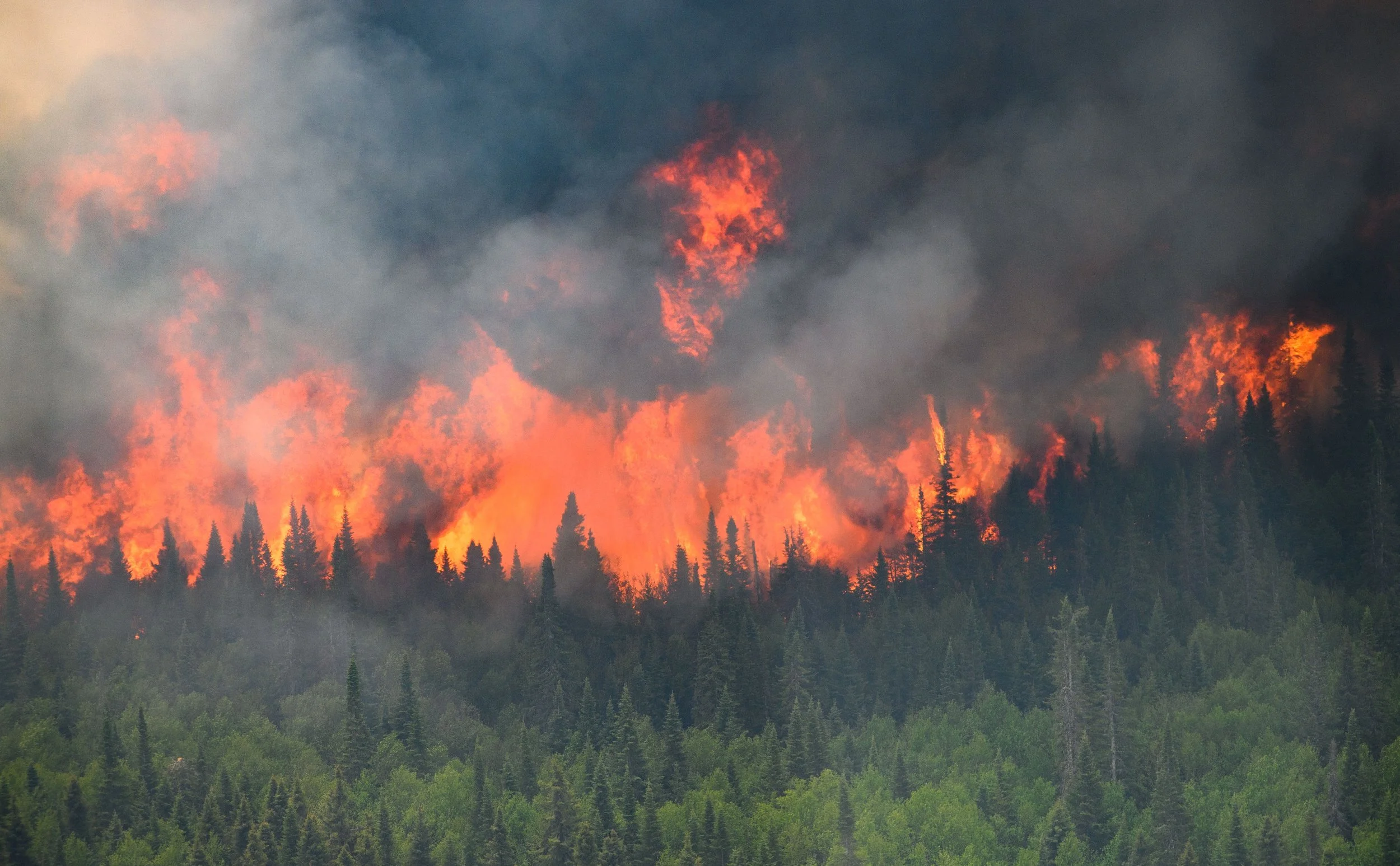
Wildfires are not stationary; they are dynamic, and due to the terrain, they are also challenging to predict." —— Hewitt
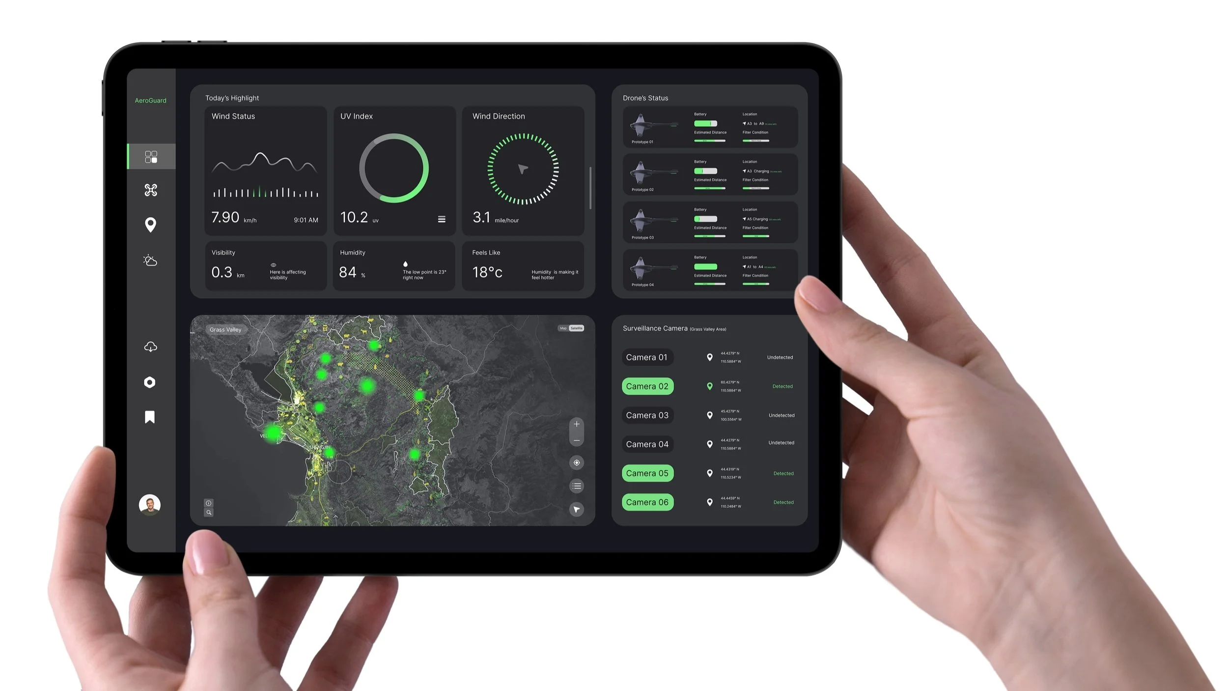
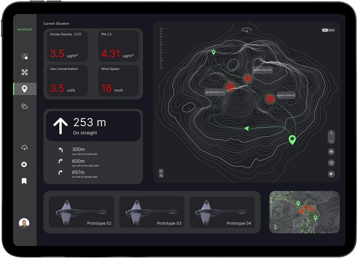
Integrate climate satellites and ground cameras into a unified system, enabling Hewitt to have a better view and record of weather conditions.
Swarm provide real-time monitoring from different angles for enhanced data analysis and insights
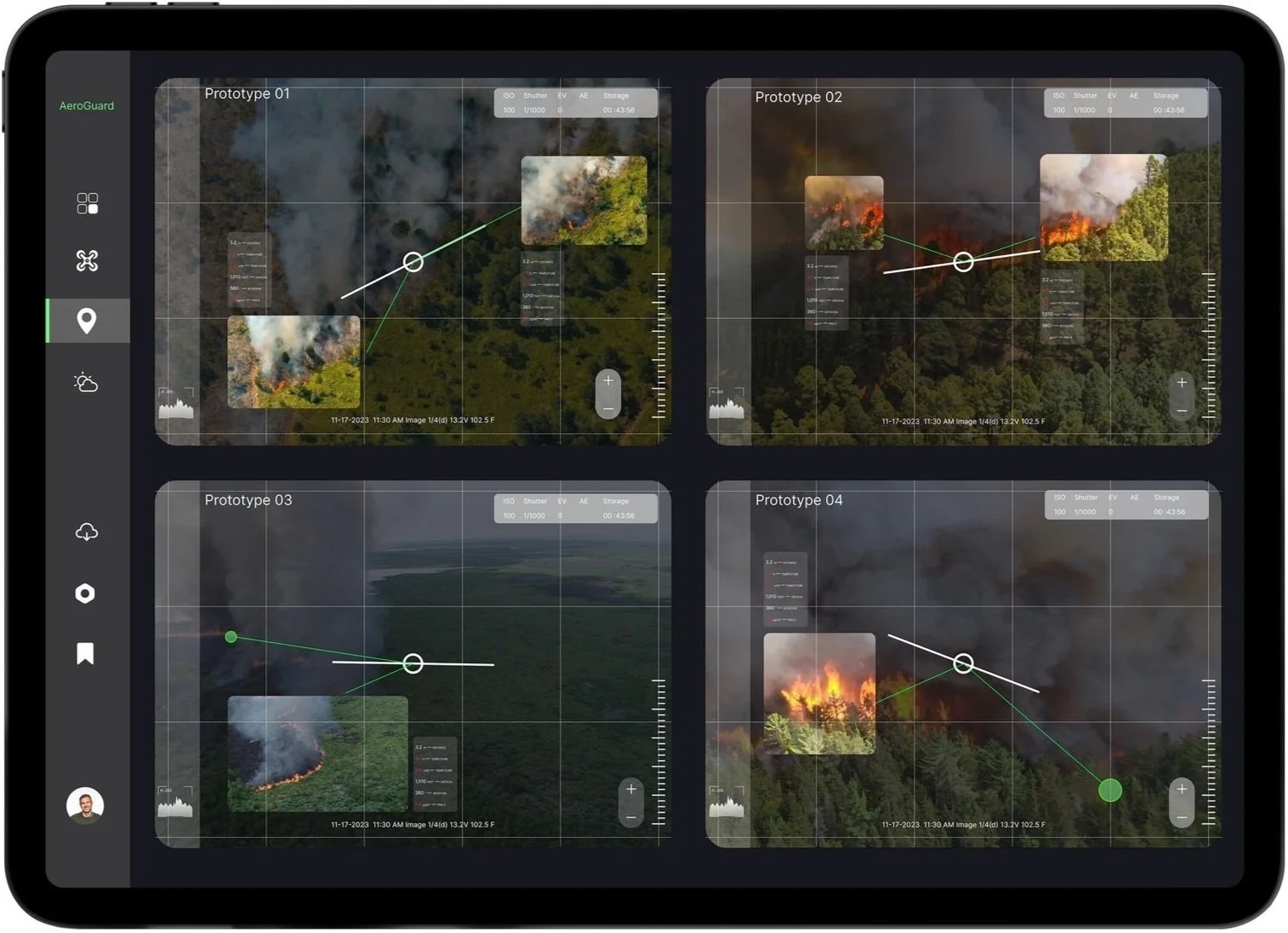
Swarm provide real-time monitoring from different angles for enhanced data analysis and insights
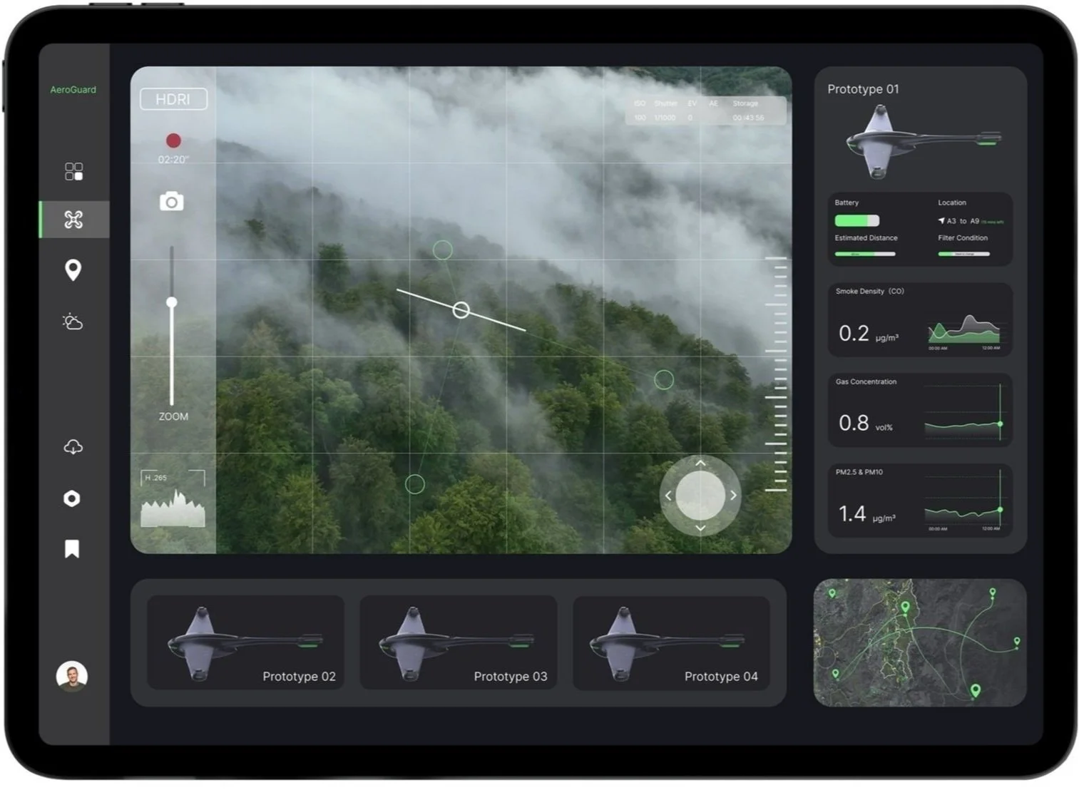
"Empower firefighters to take direct control of drones while offering terrain analysis to enhance the efficiency and safety of firefighting operations.
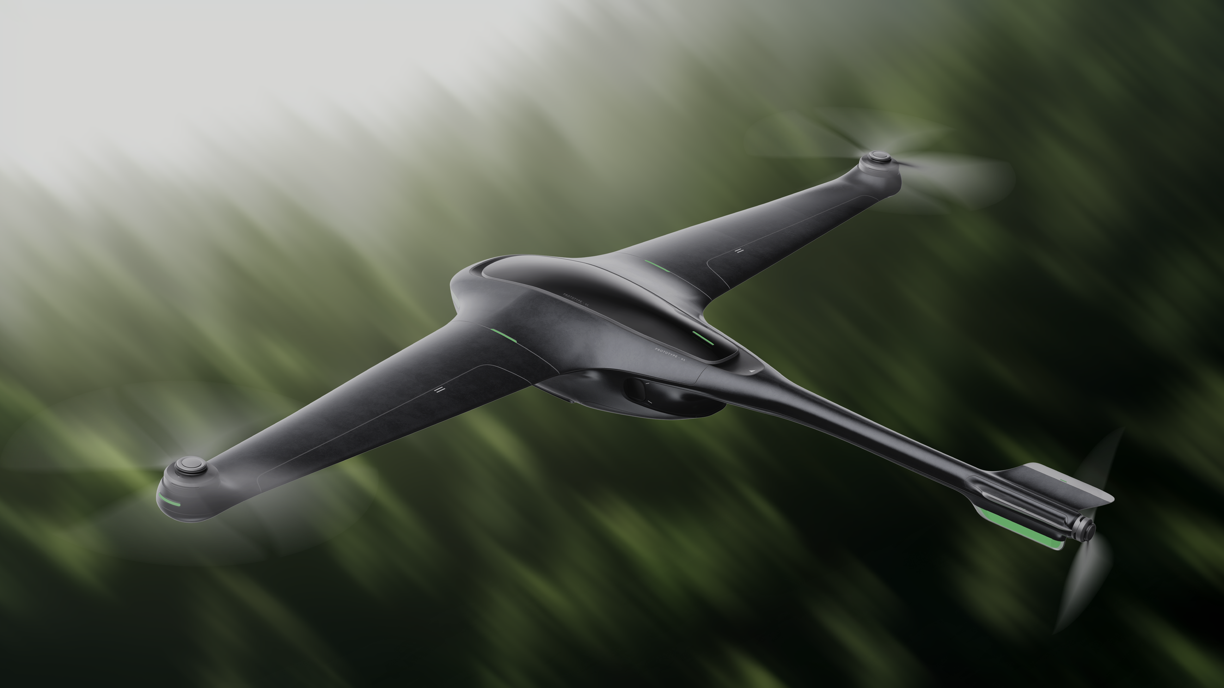
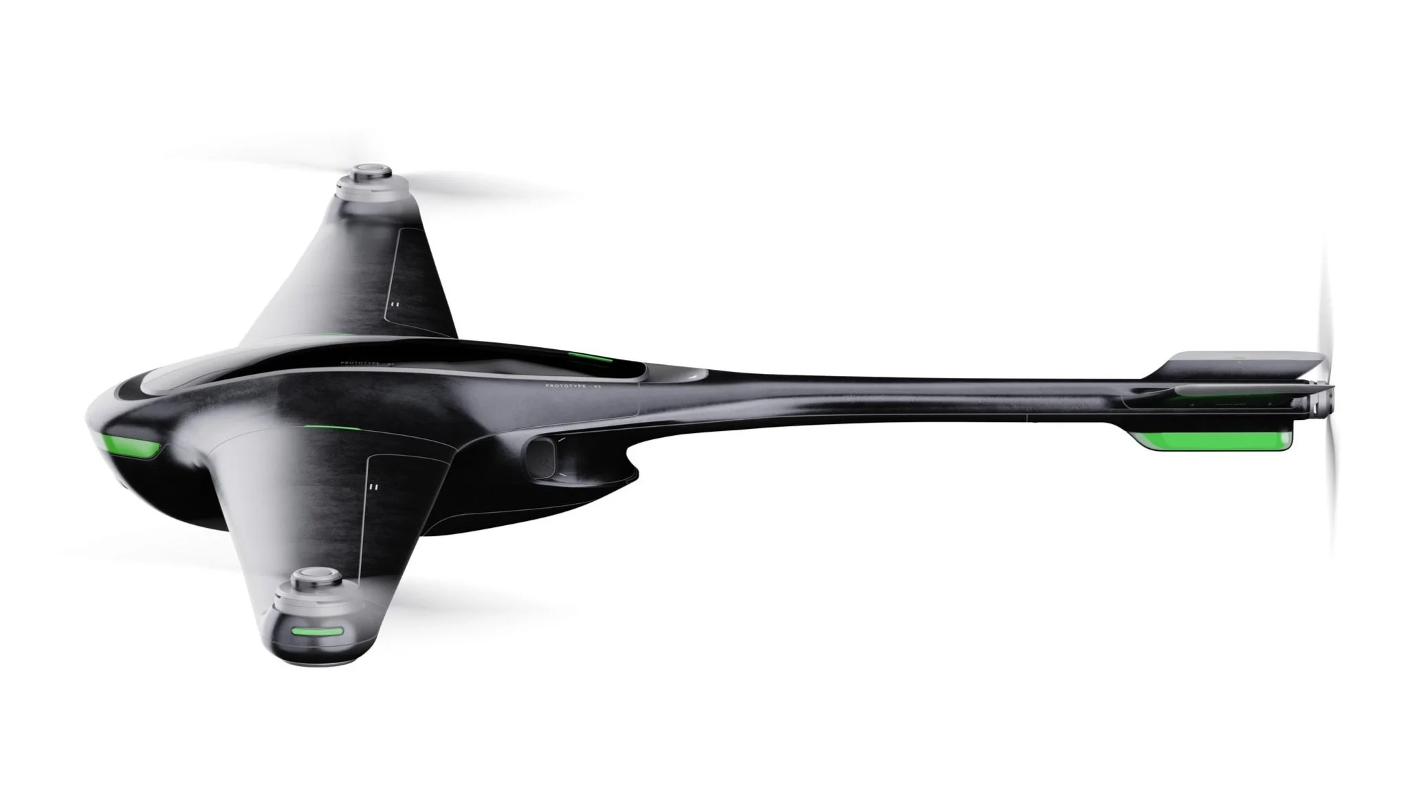
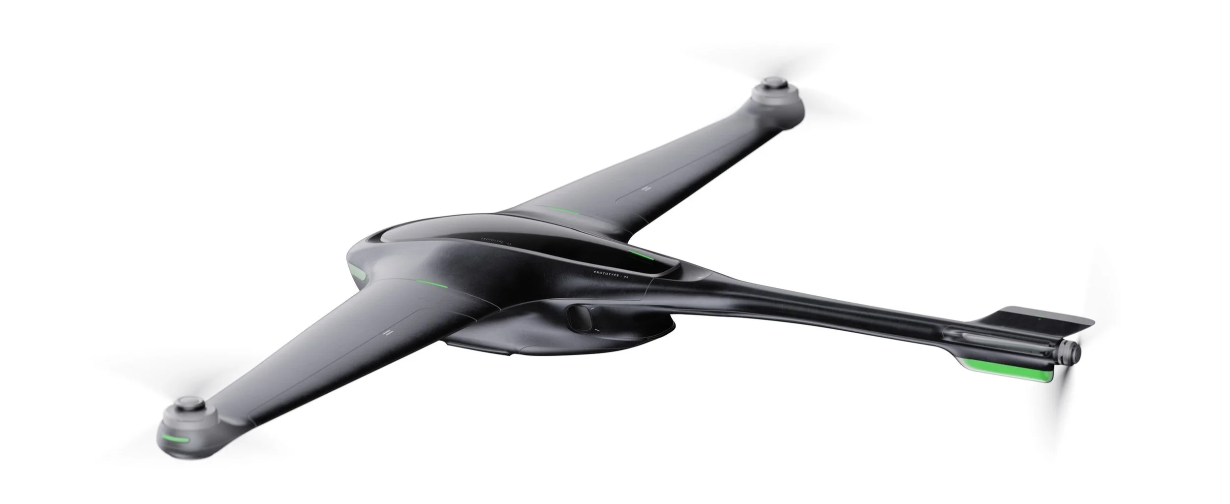
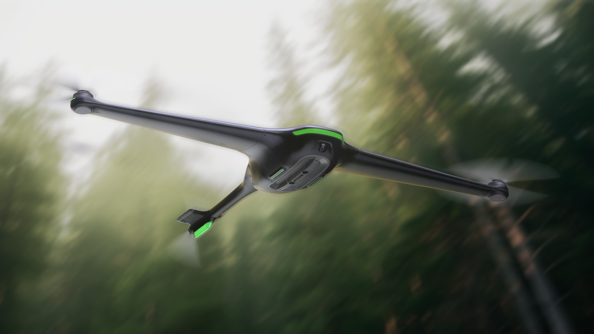
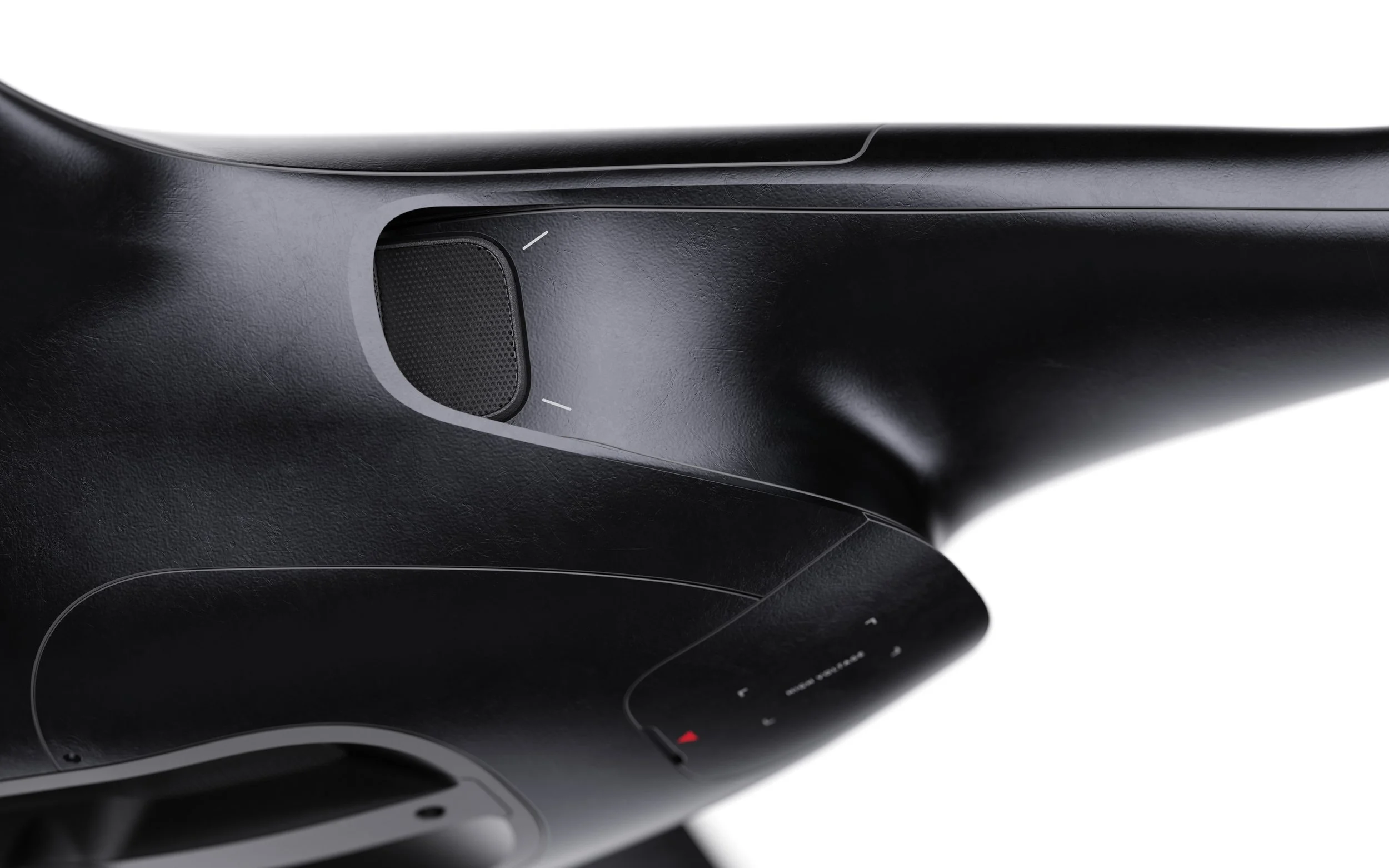
Within this new air cooling layout structure, it allows air to pass through the drone body, thus facilitating better cooling." also maximizing the air contact area
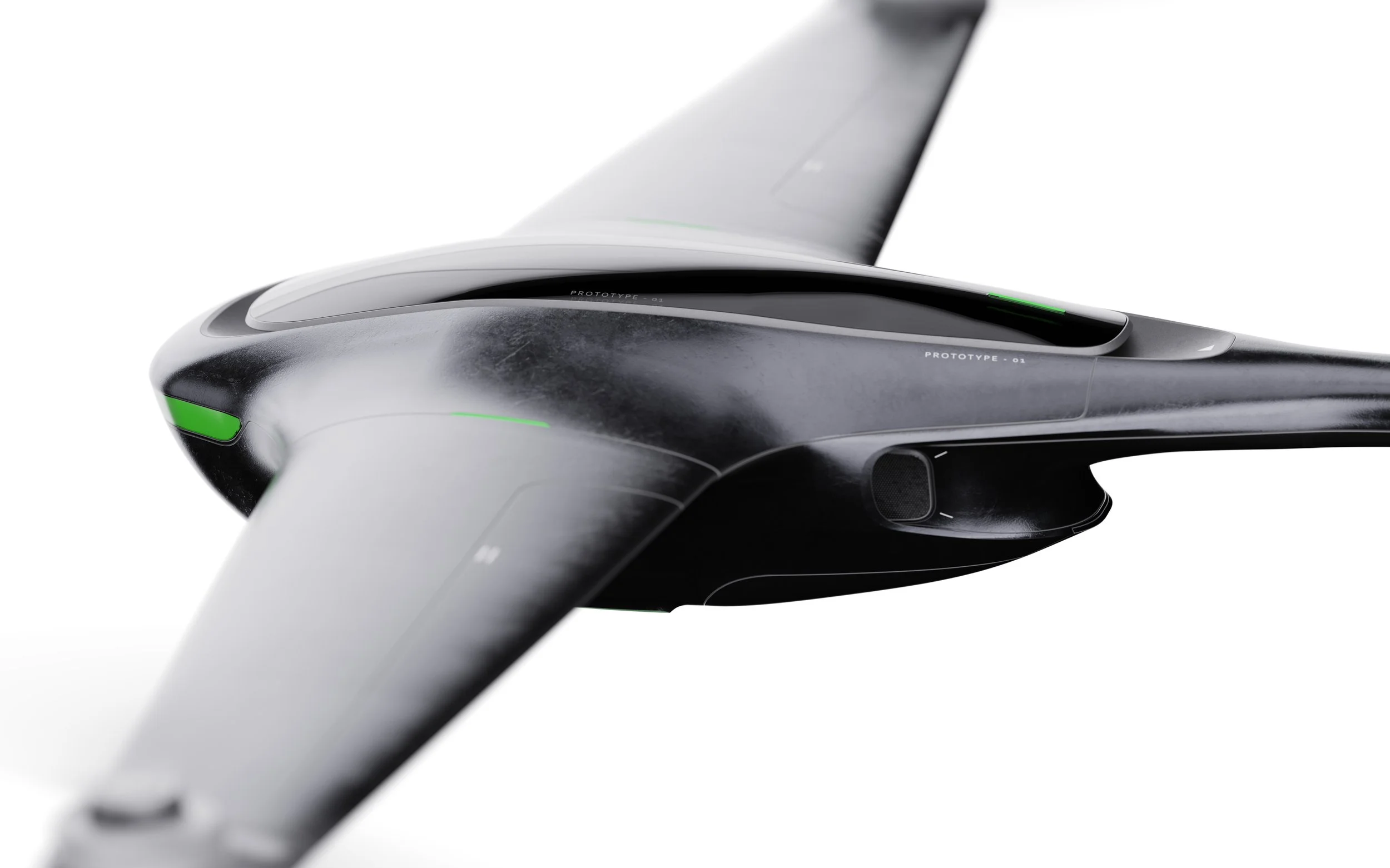
redesigned internal structure, integrating aerodynamics and air detection systems, . that allows conduct air quality detection. while air intake .
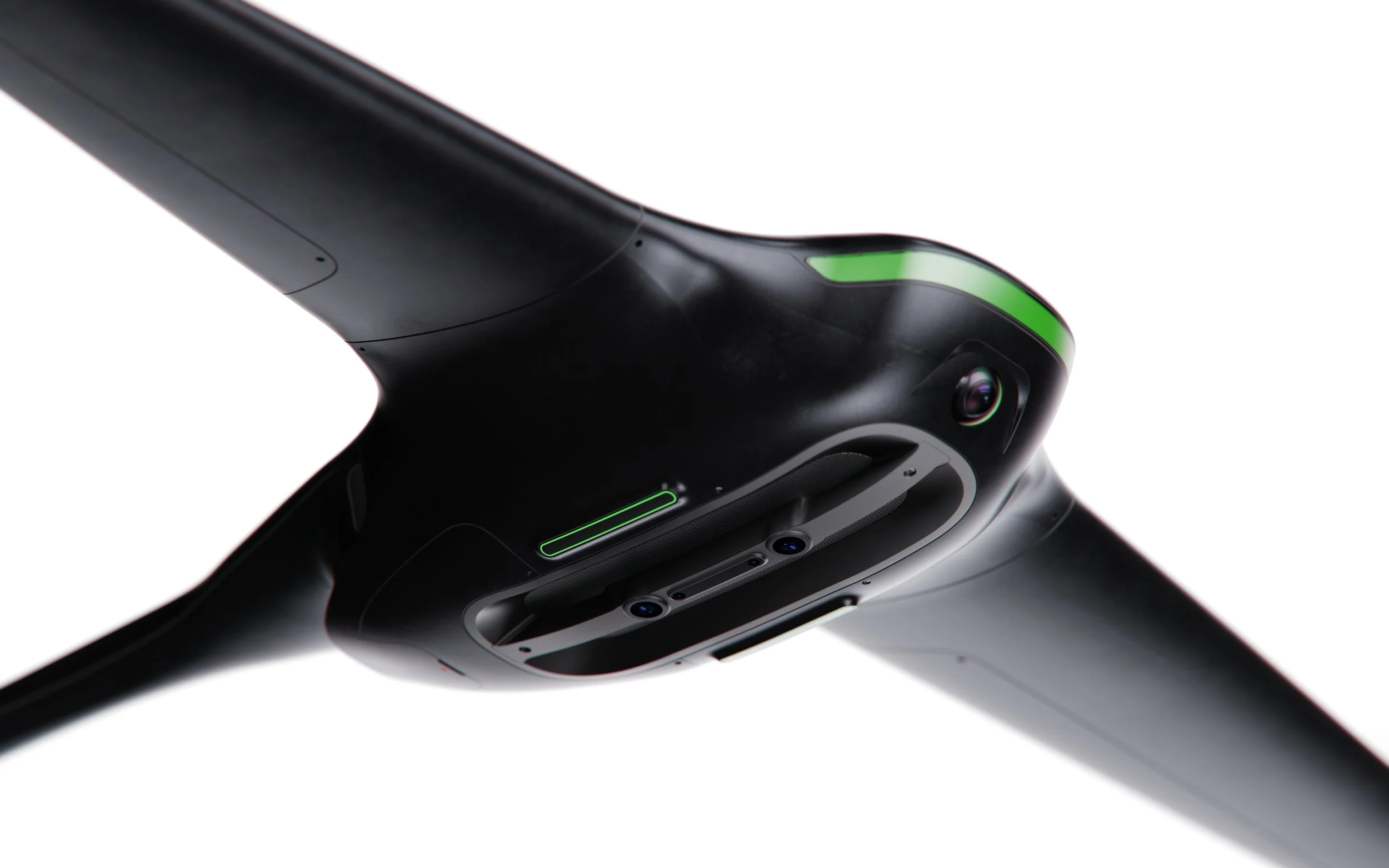
It equipped avboidance sensing system. To enhance safety flying
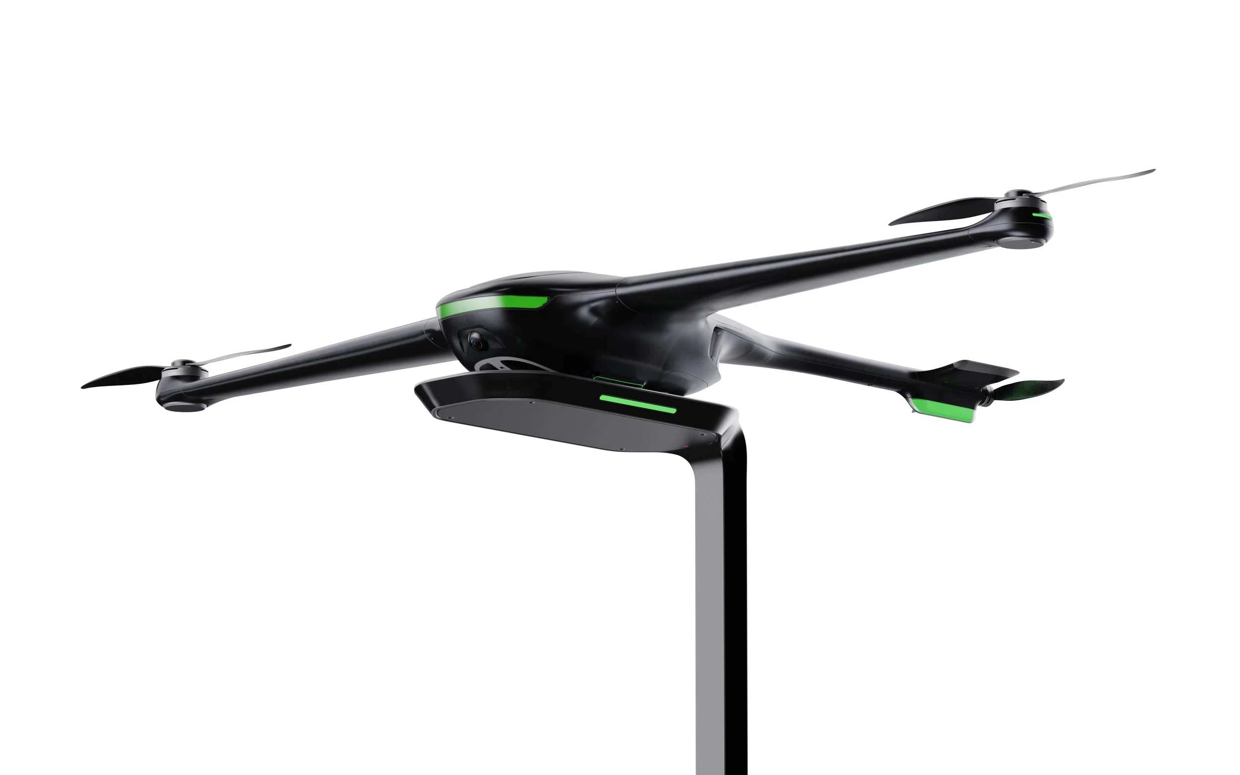
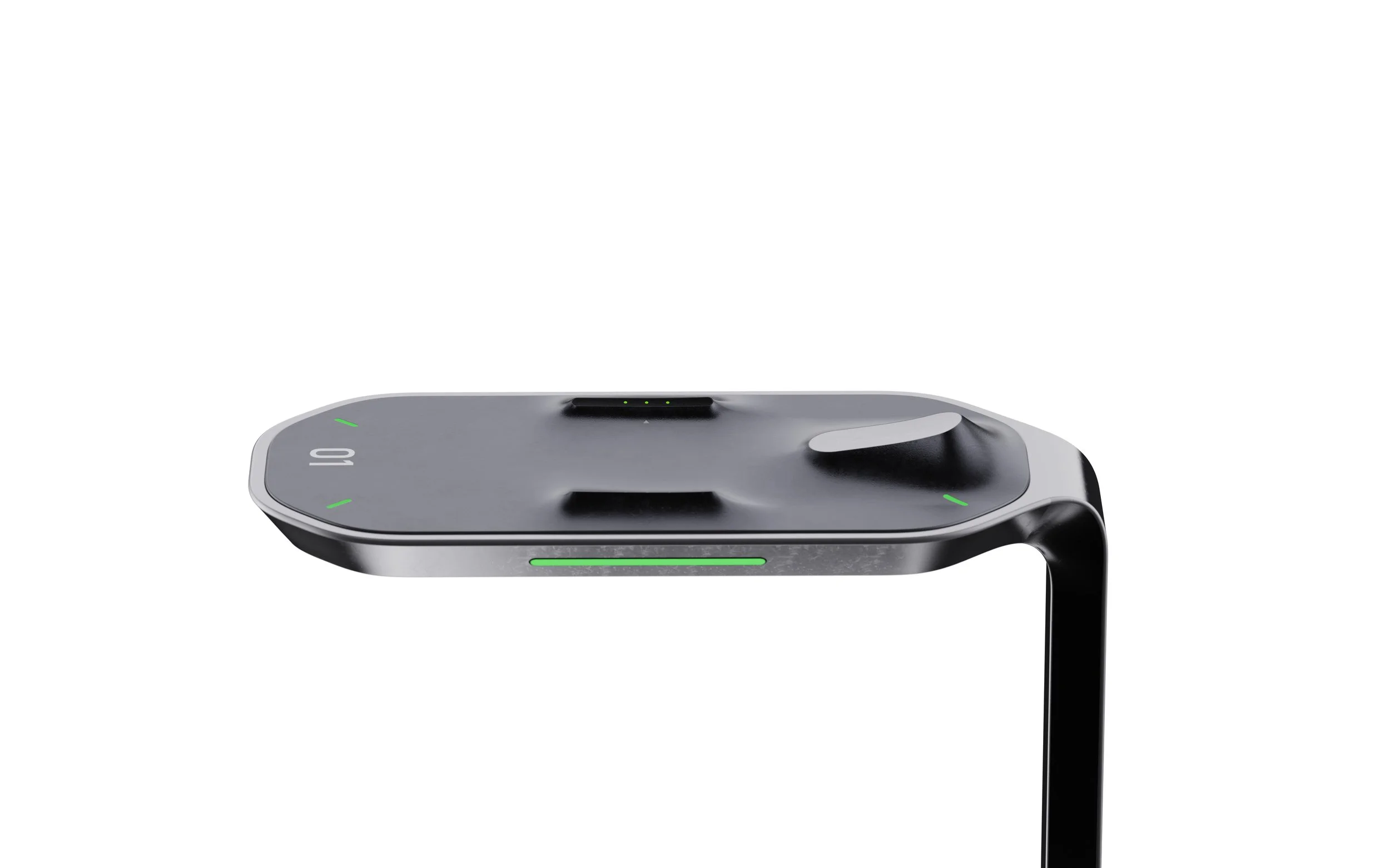
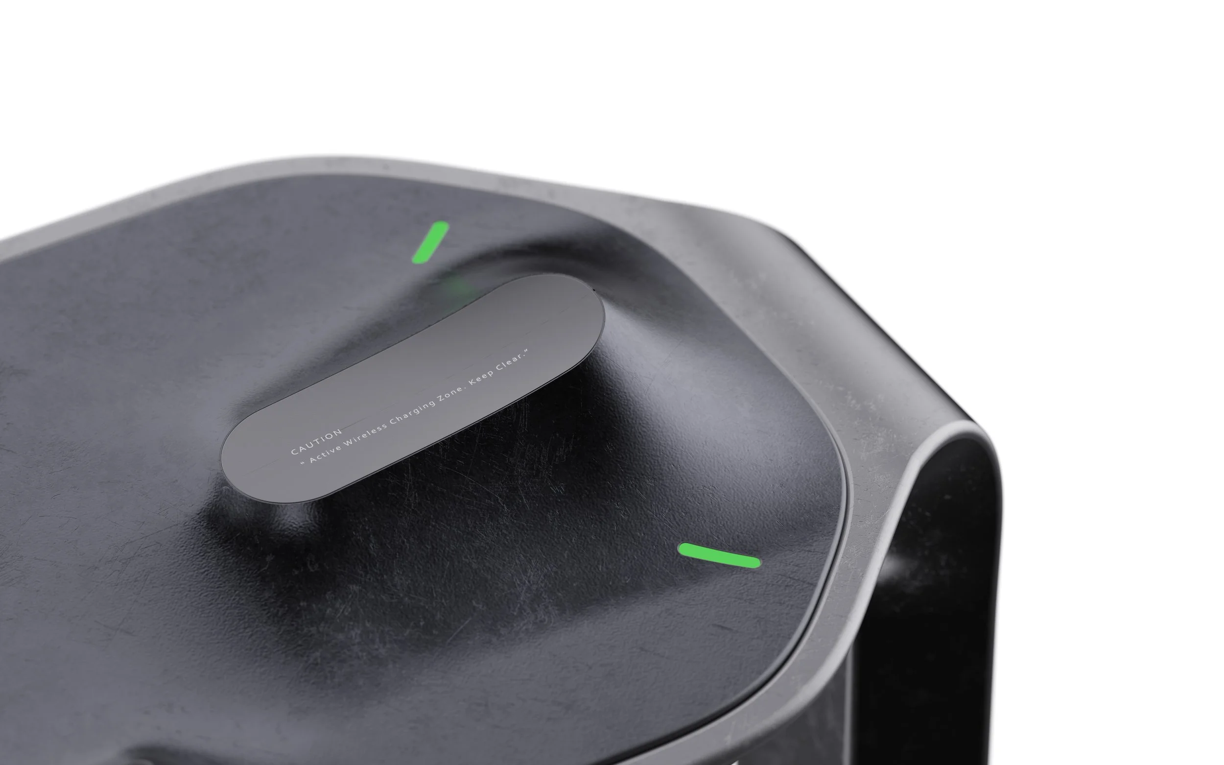
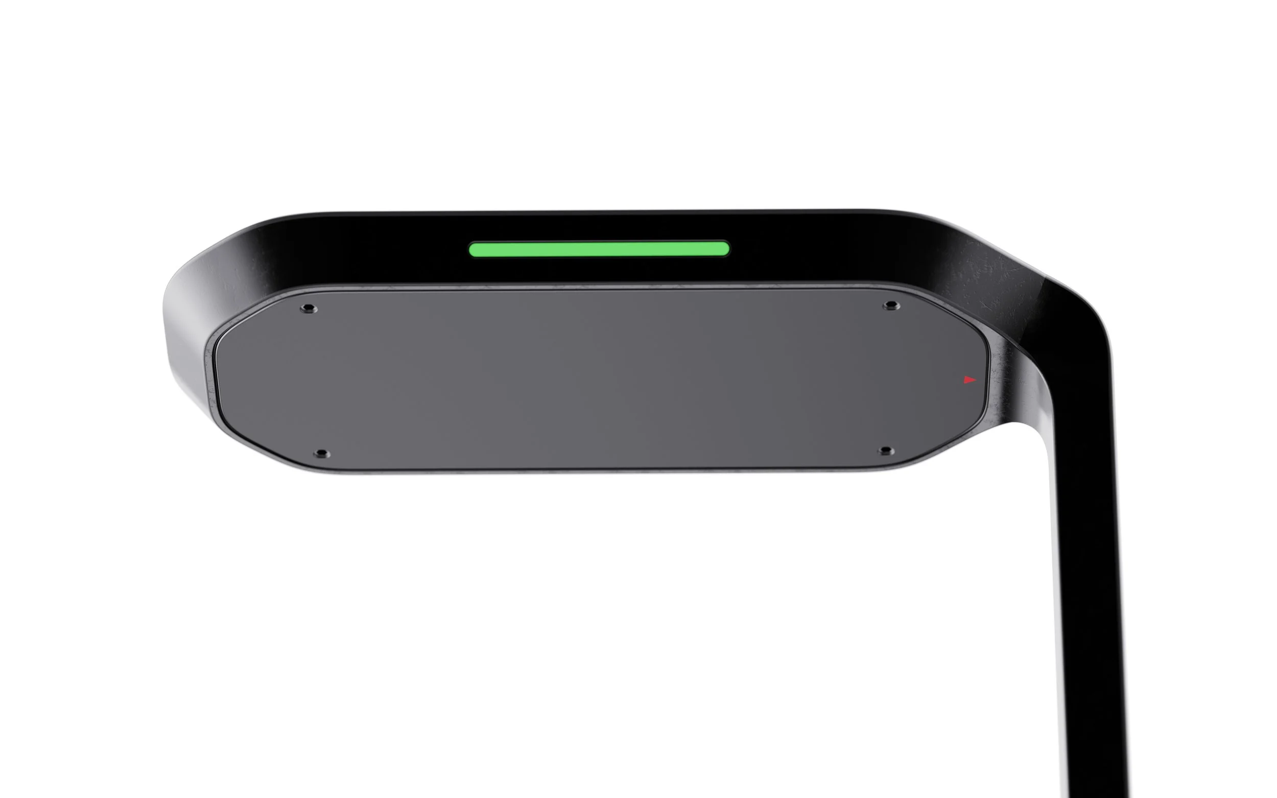
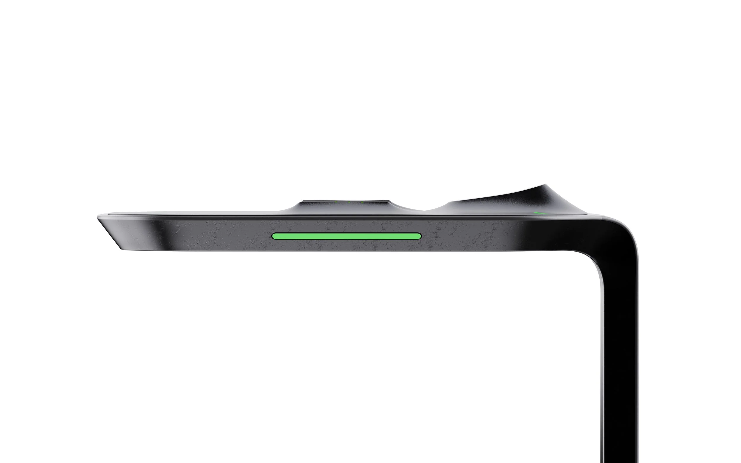
Wireless Charging Station
Detachable Propeller
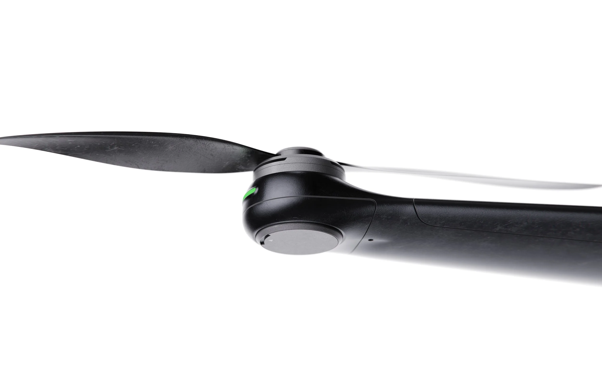
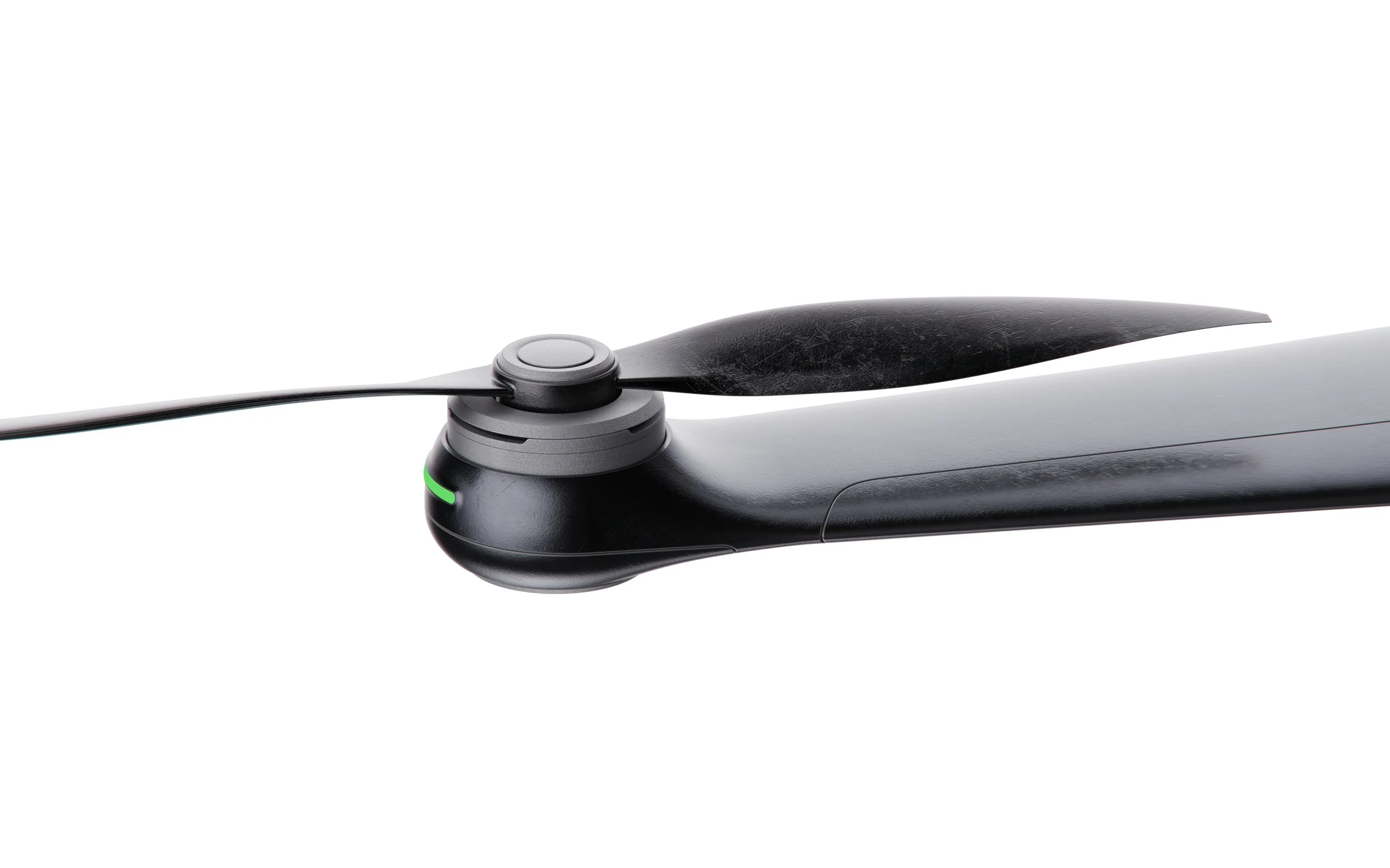
Detail